Editing Geospatial info, Watermark, Date/Time and Camera Overlays
From versions 2.4 and 2.5, the Solocator Android app has a few new post-editing options for notes, geospatial info and camera overlays. Before v2.4, the watermark field, date and time formats were stamped on photos and could not be edited after the photos were taken. The same applies to the geospatial information at the top of photos, which was stamped onto photos and could not be edited after photos were taken until v2.5.
Editing options from:
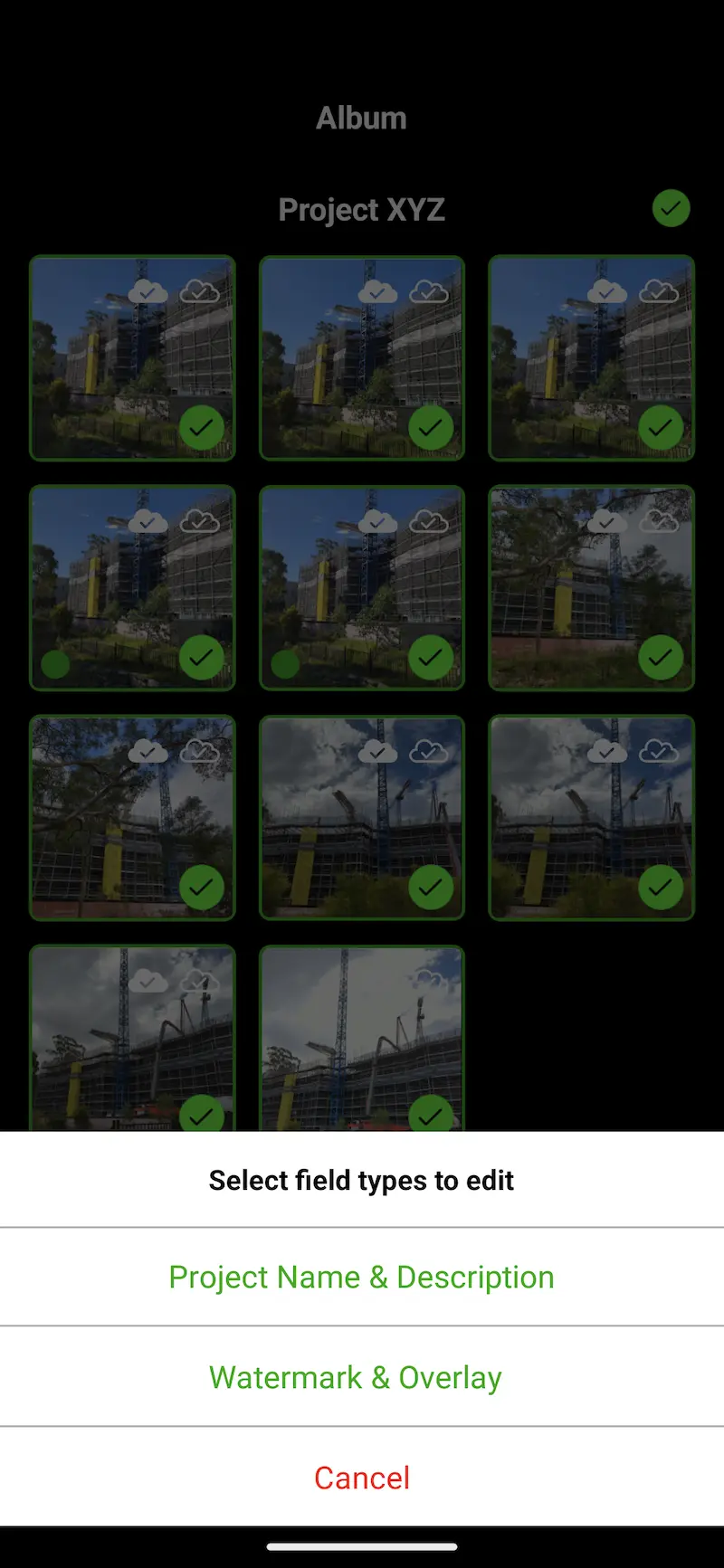
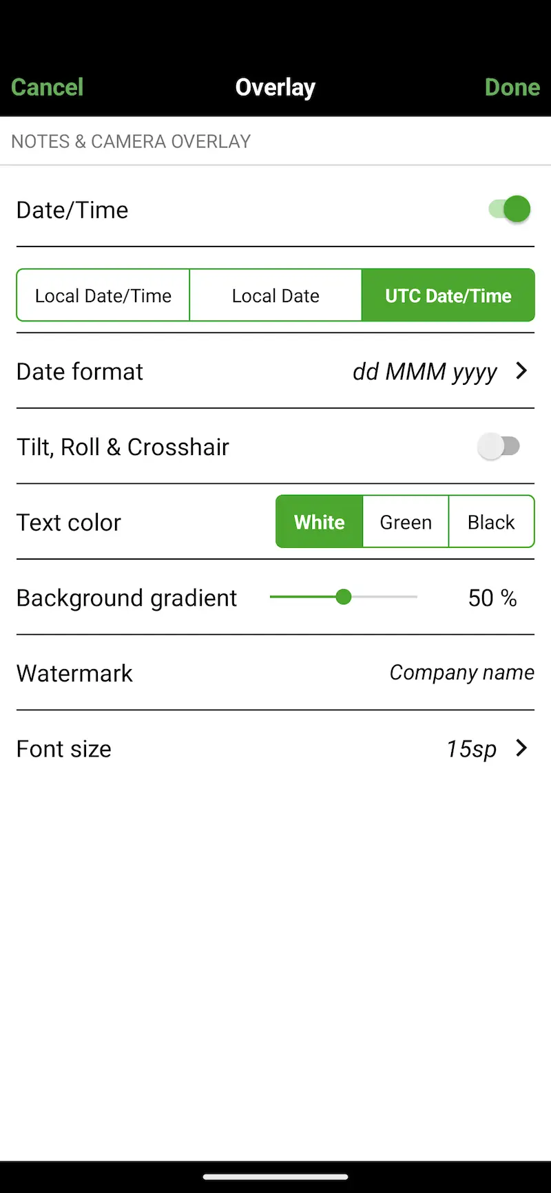
- v2.4: you can select individual or multiple photos and batch edit the text, font size, and colour of all notes fields, including changing date and time formats.
- v2.5: you can change capture modes, coordinate formats and a number of other geospatial options.
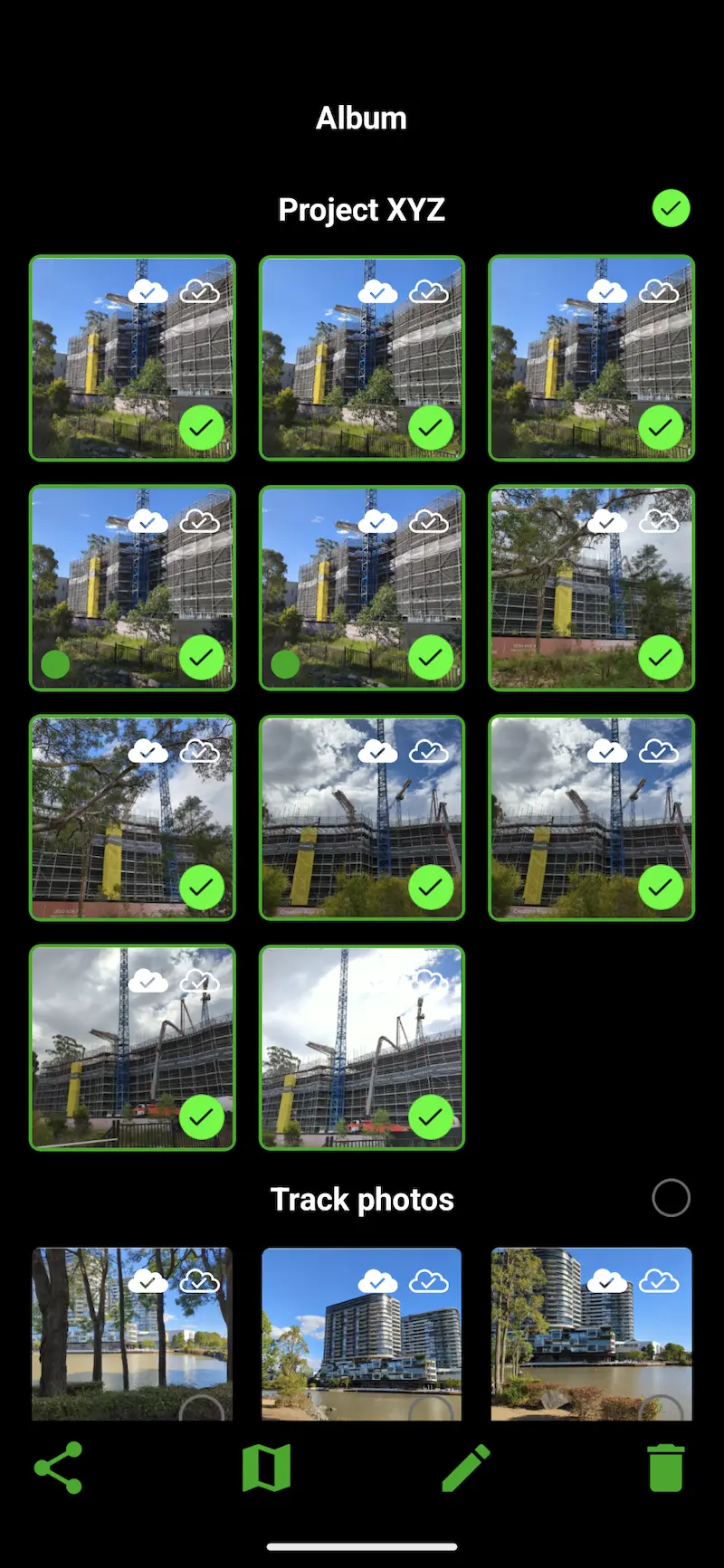
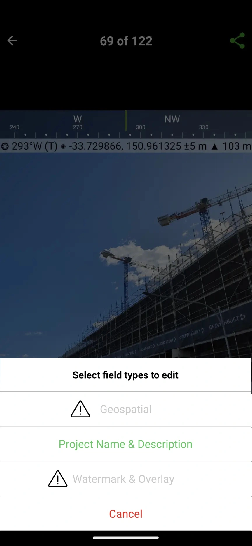
⚠ Please note: When selecting photos to edit, if one or more of the selected photos were taken with older versions of Solocator, the “Watermark & Overlay” or “Geospatial” buttons are disabled, as this feature can only be used for photos taken from v2.4 and v2.5 respectively. In this scenario, just unselect the older photos, and the “Watermark & Overlay” or “Geospatial” buttons will be enabled. See the last screenshot example below.
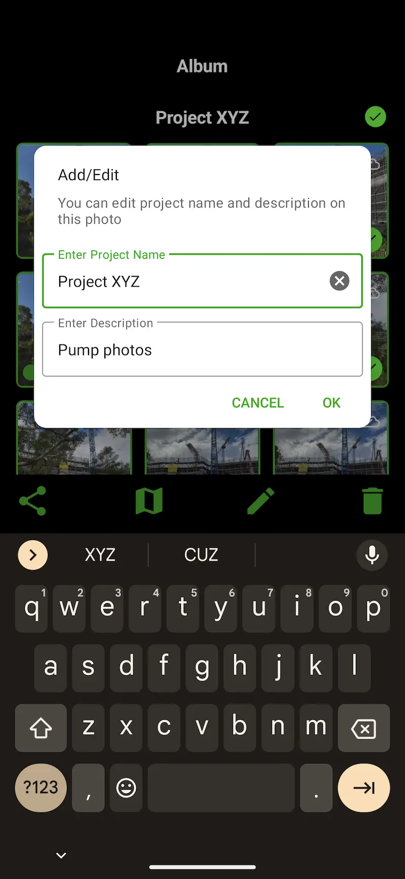
Editing Project Name and Description Fields
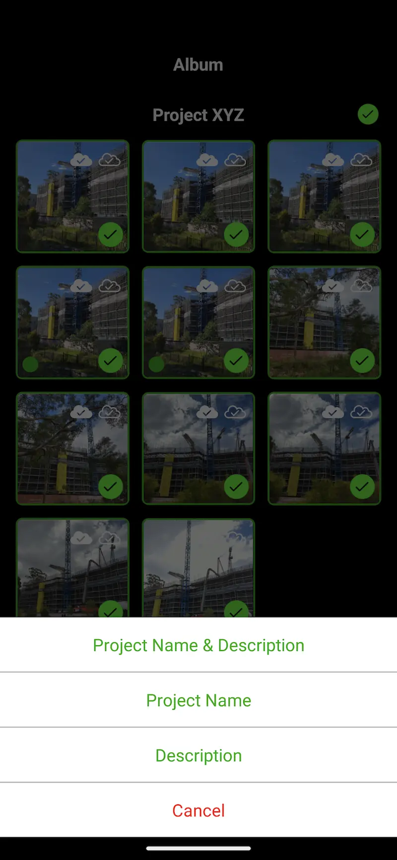
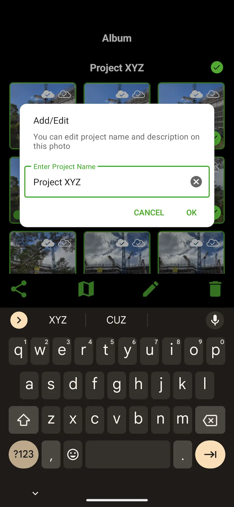
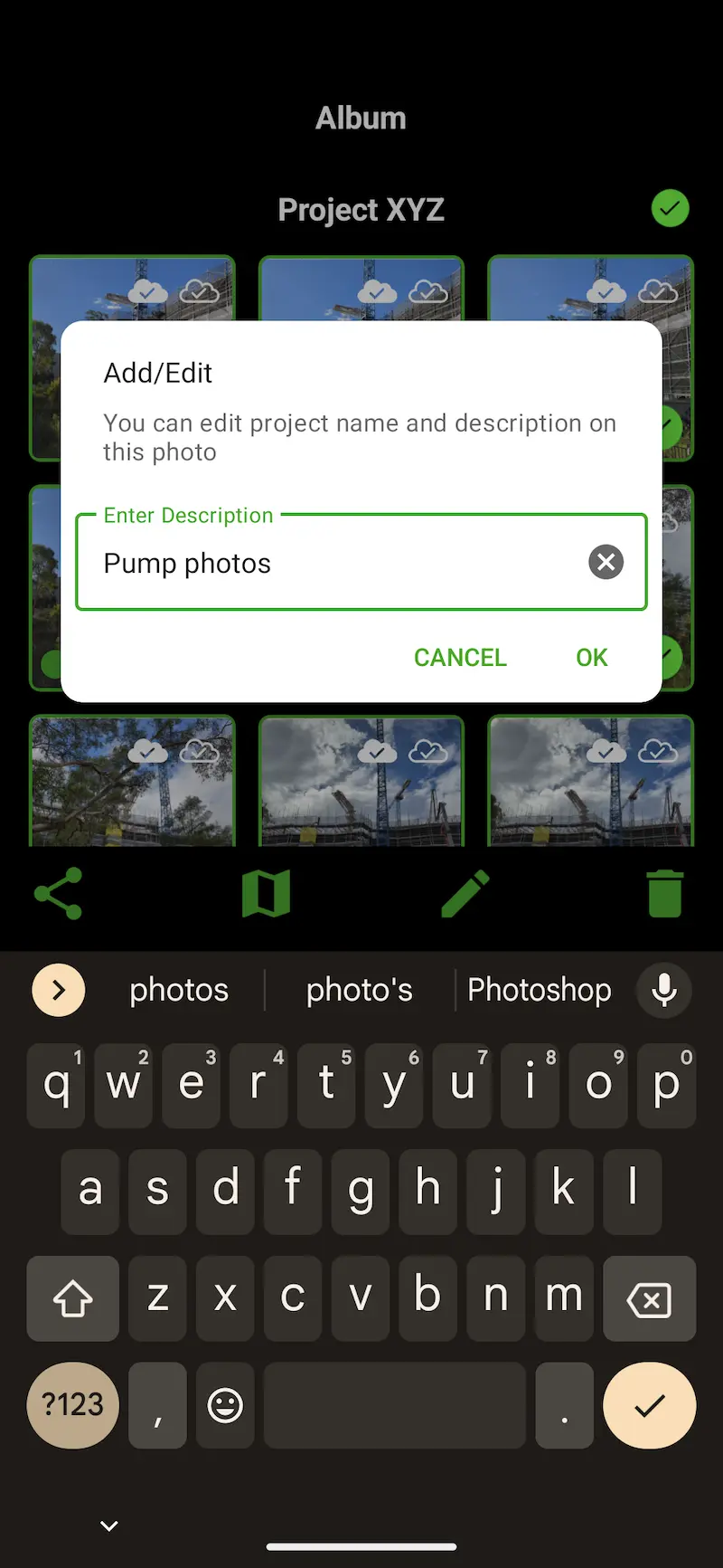
In addition to previously editing the Project Name and Description fields together per photo, you can now edit each field separately. Please take a look at the steps and screenshots below.

