ABOUT SOLOCATOR
Solocator is a GPS field camera app with built-in overlays to capture photos for proof. Proof of where, when, what & why we take photos.
While capturing information on the spot is critical so is the process of naming, filing and reporting of photos after they’ve been taken. Solocator’s development has been and will be focussed on both capturing information onto photos and compressing the time of processing of Solocator photos. A great example of this is the ability to name photos based on the GPS and Notes overlays and autosave them into project folders ready to be used back at the office or send them off to a subcontractor, client etc. all done straight after taking a photo.
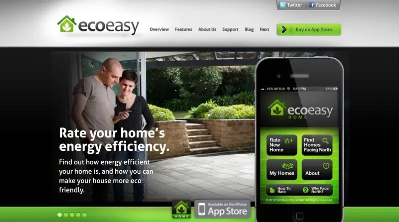
The idea for Solocator came about when I was designing and creating another app. The main aim at the time was to capture information about homes, land and property that you are inspecting to buy or rent. In particular, knowing which way the house is oriented and which way rooms face to get the best solar gain. The initial version of Solocator is a feature in Eco Easy Home which is in use in Australia and New Zealand.
But, Solocator on its own has become so much more for many users across so many different industries and needs around the world.